Our flying site is located a little north of the village of Wighill which in turn lies 3.0 miles north of Tadcaster.
Access is gained via a private gated tarmac road from the centre of Wighill.
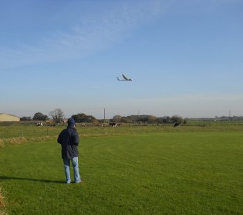
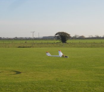
The site enjoys a beautiful rural setting and comprises of a closely mown 60m diameter circle with guarded pit area. The circular nature of the patch ensures that we can always take-off into wind irrespective of its direction.
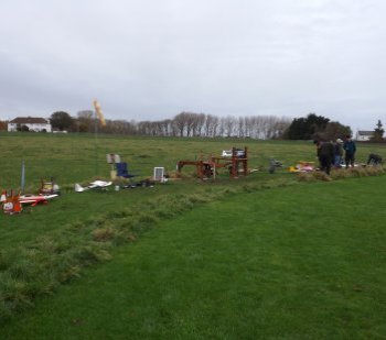
For those who have problems kneeling and/or bending, we have two raised timber constructed safety benches, which also double as a working platform for carrying out minor adjustments and running repairs.
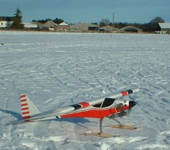
Flying can take place all year round, with the exception of Christmas Day and Boxing Day.
Our flying times are :-
10.00am to 9pm Monday - Saturday.
11.00am to 9pm Sunday
(No flying when its dark)
Directions
The Flying Field is 0.7 miles north of Wighill.
Wighill is 3 miles North of Tadcaster - 4 miles from Boston Spa - 5 miles from Wetherby - 12 miles from York
The Village of Wighill is a small village with one main road.
When going into the village from the direction of Tadcaster / Thorpe Arch / Wetherby you will get to a sharp right hand bend. In front of you, on this bend, are a set of gates.
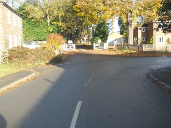
Go through the gates and keep driving for just short of a mile until you see another gate on the right with the Tadacster Flying Club sign board on it.
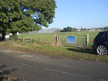
If there is anyone flying you will see them from the gate.
Parking is on the grass verge at the front of the field.
** Only park on the gate side of the road, the road is used by farm vehicles and you risk damage to your car if you park anywhere else **
Sat Nav
The Grid Ref for the flying field is SE473483 Lat/Long. N53.929 W1.170
The Flying field does not have a post code. - But if you use The Avenue, Wighill Park, Tadcaster LS24 8BS - that should bring you a point a little beyond the white gates. So just keep driving.
The Google map below may also help.